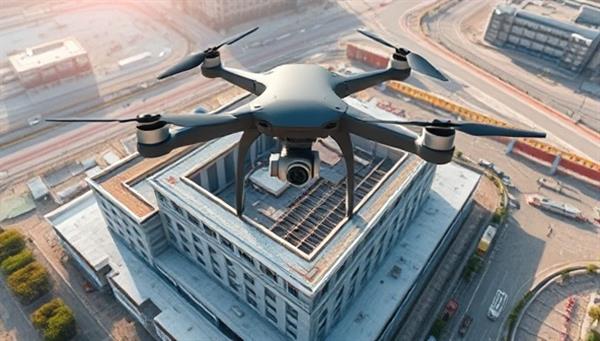
Business Name:SkyBlueprint Solutions
Description:SkyBlueprint Solutions provides drone-based aerial mapping and surveying services for architects, engineers, and construction companies. Utilizing advanced drone technology, the business offers high-resolution imagery, 3D mapping, and site analysis to enhance project planning and monitoring.
Profitability:The use of drones in architecture offers a cost-effective and efficient way to gather site data and visualize projects. Target clients include large-scale developers, government agencies, and urban planners seeking accurate and comprehensive mapping solutions.
Required Skills:Familiarity with drone operation and aerial photography techniques Knowledge of mapping software and data analysis tools Understanding of architectural surveying methods and project requirements Compliance with FAA regulations and safety protocols for drone usage
Go-To-Market (GTM) Strategy:Showcase drone mapping capabilities through visually stunning project samples on the website. Partner with architectural firms to offer bundled services for site assessment and project visualization. Attend industry events and construction expos to demonstrate the benefits of drone mapping. Collaborate with environmental agencies for land conservation and mapping projects.

