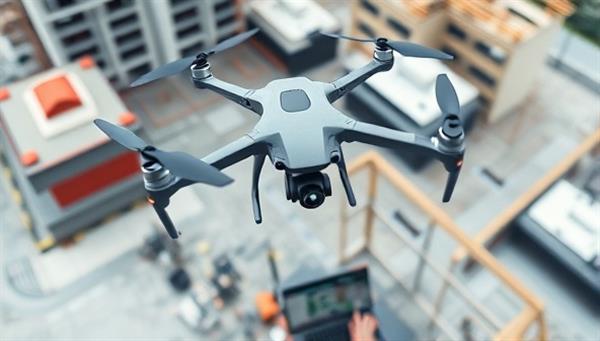
Business Name:SkyView Mapping
Description:SkyView Mapping provides architects and urban planners with drone aerial surveying and mapping services to capture detailed site data, topographical information, and 3D models for design and planning purposes. Our high-resolution aerial imagery and mapping software streamline the design process and enhance project accuracy.
Profitability:This business offers a cost-effective and efficient solution for architects to gather site data and visualize projects from a unique perspective. Target clients include architectural firms, construction companies, and civil engineers requiring accurate mapping and surveying services.
Required Skills:Pilot certification for drone operation Proficiency in aerial photography and mapping software Understanding of architectural site analysis and planning Attention to detail for capturing precise aerial data
Go-To-Market (GTM) Strategy:Showcase drone mapping capabilities at architecture expos and industry events. Offer discounted trial mapping services for new clients to experience the benefits. Collaborate with architectural firms to provide drone mapping workshops and training sessions. Utilize social media platforms to demonstrate the visual impact of aerial surveys on architectural projects.

