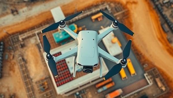
Business Name:SkyMap Solutions
Description:SkyMap Solutions offers drone surveying and mapping services for construction sites, land development projects, and infrastructure inspections. The business utilizes drones equipped with advanced imaging technology to capture high-resolution aerial data for accurate mapping, surveying, and monitoring purposes.
Profitability:Drone surveying provides efficient and cost-effective solutions for construction and land development projects, offering precise data collection and analysis capabilities. The business targets engineering firms, construction companies, and government agencies requiring aerial surveying services.
Required Skills:Expertise in drone operation, aerial photography, and GIS mapping software Knowledge of surveying techniques, land survey regulations, and data analysis tools Strong project management skills to plan and execute drone surveying projects efficiently Understanding of safety protocols and regulations related to drone operations in construction environments
Go-To-Market (GTM) Strategy:Offer introductory drone surveying packages to construction companies for pilot projects to demonstrate the benefits of aerial data collection. Collaborate with land development firms to provide comprehensive mapping and surveying services for site planning and analysis. Participate in industry trade shows and technology expos to showcase the capabilities of drone surveying in construction and infrastructure projects. Utilize targeted digital marketing campaigns to reach decision-makers in the construction and engineering sectors seeking innovative surveying solutions.

