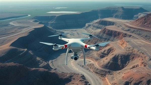
Business Name:AeroMine Survey Solutions
Description:AeroMine Survey Solutions offers drone-based mine surveying and mapping services to mining companies, enabling them to capture high-resolution aerial data for accurate terrain modeling, stockpile measurements, and environmental assessments. The online platform provides easy booking and rapid data delivery to clients.
Profitability:This business idea leverages drone technology to revolutionize traditional surveying methods in mining, delivering cost-effective, time-efficient, and precise data collection solutions. The target customers include mining companies, quarries, and construction firms requiring accurate spatial data for their operations.
Required Skills:FAA drone pilot certification and experience in aerial surveying Proficiency in GIS software for data processing and analysis Knowledge of mining industry surveying standards and regulations Ability to provide actionable insights from aerial survey data
Go-To-Market (GTM) Strategy:Partner with mining industry associations to promote the benefits of drone surveying for mine operations. Utilize social media platforms to showcase the capabilities of drone surveying and reach potential clients in the mining sector. Offer introductory discounts or package deals for first-time clients to encourage trial bookings and build a customer base. Provide case studies and testimonials highlighting the efficiency and accuracy of drone-based surveying compared to traditional methods.

